Prescribed burn map: Here's where we're burning today

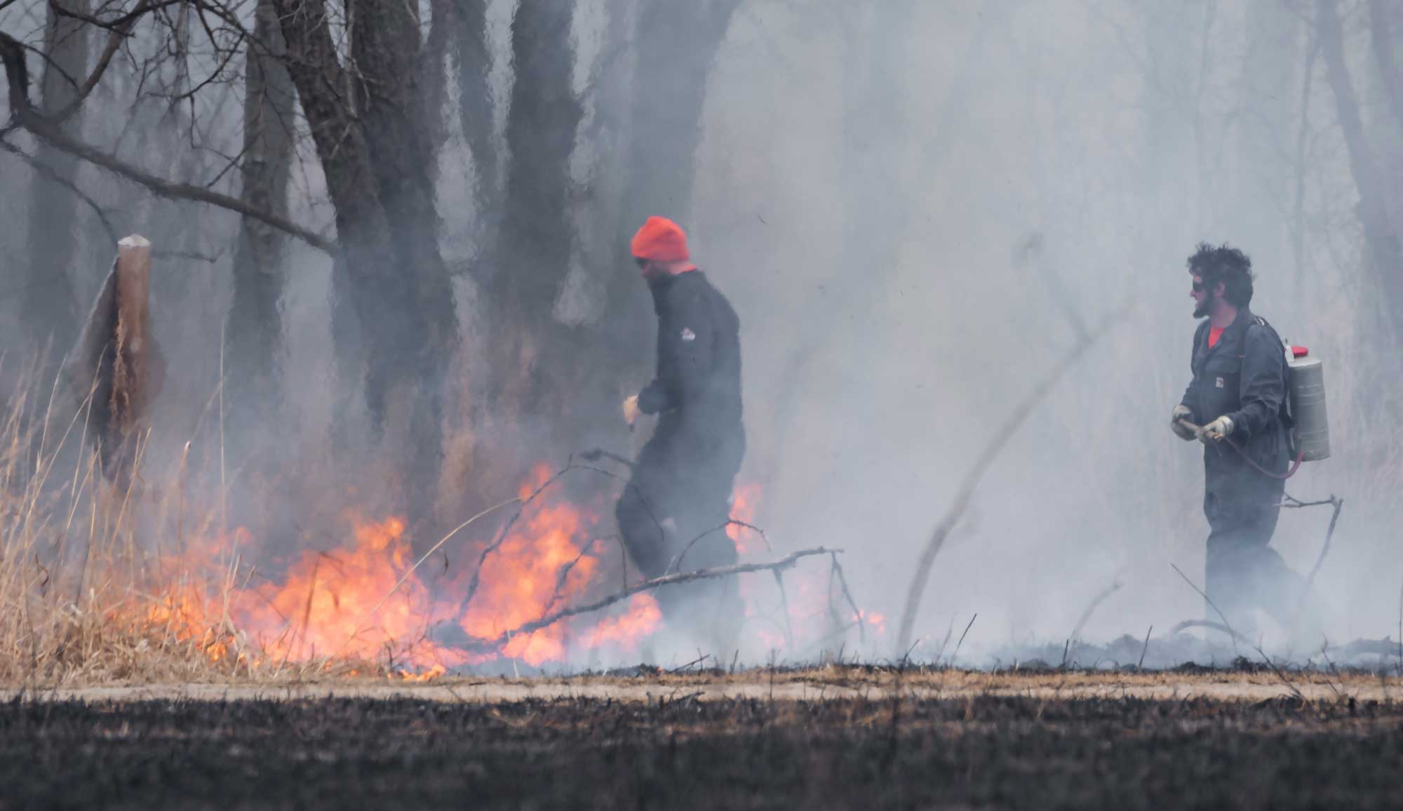
Prescribed burn season is once again upon us, when District staff and contractors set controlled fires in the preserves. It's just one of many land management techniques used to help keep invasive plants at bay and encourage better establishment of native vegetation.
Residents living within 250 feet of a burn unit are notified in advance via mail that a burn will be taking place in the coming weeks. Reverse 911 calls go out the evening prior to a burn to residents living with 1/2-mile of a burn unit. However, those calls only go out to land lines unless a person has registered their cell phone with the Will County Emergency Management Agency.
RELATED READING: WHAT YOU NEED TO KNOW ABOUT PRESCRIBED BURNS
To provide another way to notify the public, especially those who may be planning on visiting a preserve in a different part of the county, this interactive map is updated daily with the burns taking place. Red fire icons indicate that is a burn being conducted today. Gray fire icons are burns conducted earlier this season. Revisit this article for the most current information.
Click on the fire icon for more information:
A prescribed burn requires a lot of coordination and teamwork from the District's natural resource management team, as well as contractors hired to conduct some of the burns. They're dealing with heat, flames, smoke and ash while making sure only the designated areas are burned in a safe manner.
Check out one of our episodes of "The Buzz," for an inside look as we shadowed them during the process:
